Data in the Design
It's time to paint a different kind of picture, one that defines our daily commutes, our travels, and our interactions. It's time to talk about the data that powers map design, and specifically, how we're innovating here at Slpy. Today, we're giving you a behind-the-scenes glimpse at how we're crafting a digital representation of our world, one pixel at a time.
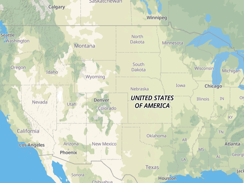
Population isn't enough
Cities are complex organisms, alive with activity, culture, and history. Yet, many map systems oversimplify these vibrant metropolises, representing them merely by population size. Faced with the choice between an empty globe and a sea of indistinguishable dots, these systems tend to hold off on introducing cities until zoom level 4 or beyond, hoping the subtleties go unnoticed.
But here's the thing: we notice. We're intimately familiar with our neighboring cities and small towns that surround us - and little of this familiarity comes from population figures. So, we at Slpy embarked on a journey to change this.
Our solution? An advanced algorithm that emphasizes factors beyond population. We considered city boundaries, administrative importance, and geographical relevance. The result? A world where cities come alive, instantly recognizable, at every zoom level.
Navigating the Arteries
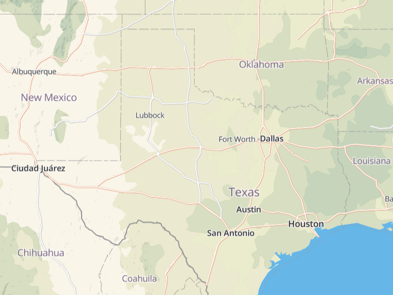
Our next challenge? Capturing the highways - the nation's arteries. A large portion of our customers build travel apps and require a map that provides a clear, unbroken view of these highways, even when covering great distances. Simply displaying every highway, however, results in a tangled web of thin, barely visible lines. This leaves users grappling to identify the major routes and overlooks the smaller, yet equally important roads.
With this in mind, we set a clear goal: to deliver a navigable, coherent map even at zoom levels 4 and 5, illustrating the world's most critical highways without losing sight of the lesser ones. This approach allows us to present a map that is comprehensive yet uncluttered, guiding users seamlessly along the roadways that stitch our nations together.
Realistic Regions
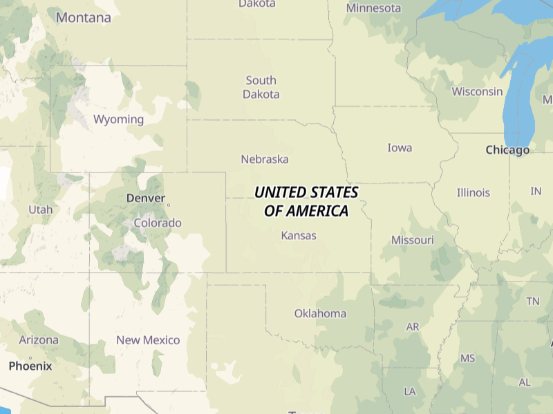
Color plays a significant role in how we perceive maps. Our design philosophy embraces this. We aim to deliver a realistic, intuitive experience when you navigate through the regional variations. Notice the subtle shift from the muted greens of the lush Great Lakes region to the pale, pastel tones of the central U.S. plains? Oh, it's subtle, but the real world difference is stark. These tonal changes provide not just aesthetic pleasure, but also a clear and distinct understanding of regional landscapes and climates.
Don't Overwhelm
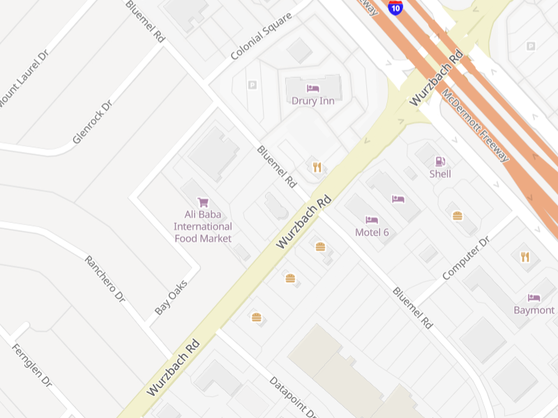
As you zoom in, we believe in providing you with the most relevant information. Differentiating road types, displaying the hierarchy of their importance through color and size, and making navigation within urban or rural landscapes simpler. The path you choose should always be crystal clear, and should never hinge on discerning which white road is marginally wider than its neighbor.
When it comes to buildings and Points of Interest (POI), our algorithms bring in features with remarkable caution. We first introduce the most important commercial and public buildings, ensuring that high zoom levels don't overwhelm you with information. Residential homes follow only when at the neighborhood level, offering a cleaner, less cluttered map experience.
Our Goal
At Slpy, our mission is to make the complex simple, the messy organized, the overwhelming accessible. Our API offers map design through better data, using innovative technology and meticulous design principles to give you the most intuitive, visually appealing, and user-friendly map possible. We're not just mapping the world; we're crafting a digital atlas that's built to serve, inform, and delight.
Give Slpy a try. Let’s redefine what a Map API can be, together.
Justin, the Slpy team